ALAY
INFORMATION
🇰🇬 Alay — Gateway to the Pamirs
The Alay Valley is one of the most majestic and scenic regions of Kyrgyzstan, stretching at the foot of the Pamir Mountains. It's a land of rich nomadic traditions, high-altitude landscapes, and the legendary Pamir Highway.
📌 General Information:
- Location: Osh region, southern Kyrgyzstan
- Altitude: from 2,000 to 3,500 meters
- Climate: mountainous, cool summers
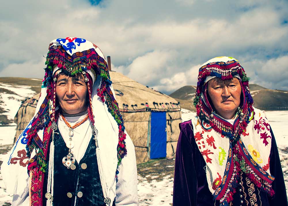
- Culture: home to Alay Kyrgyz, strong nomadic heritage
🏞 Must-See Places:
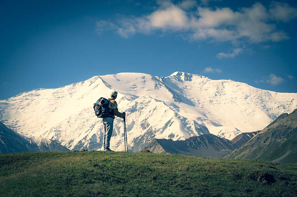
🏔 Peak Lenin
One of the most accessible 7,000m peaks (7,134 m). Popular among climbers and trekkers.
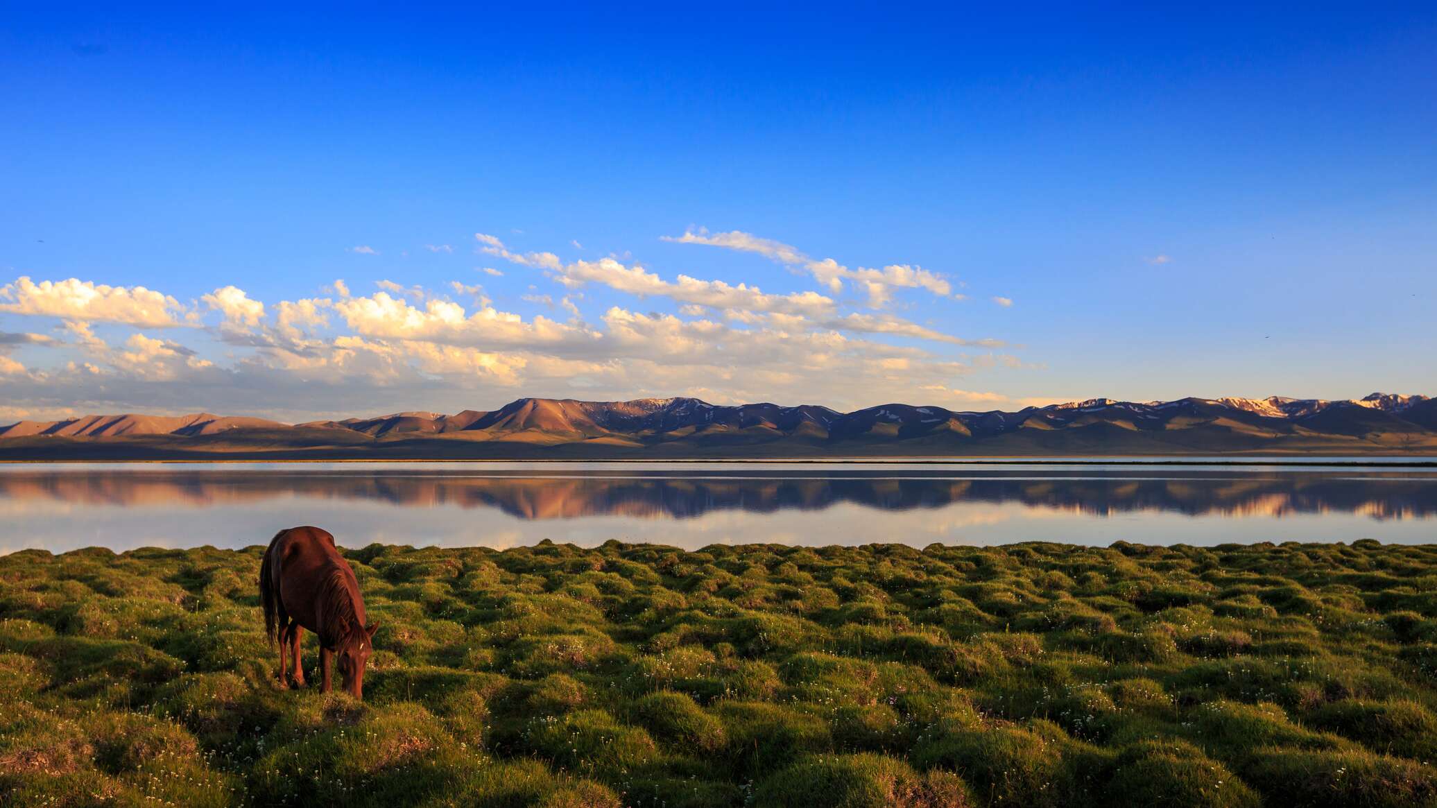
🏕 Chong-Alay & Taldyk Pass
Stunning alpine views, yurts set against snow-capped peaks, horse herds on green pastures.
🛣 Pamir Highway
The legendary road leading through the Pamirs into Tajikistan. Ideal for road trips and motorbike adventures.
🍽 Local Cuisine:
- Kuurdak, beshbarmak, ayran
- Dairy products: kaymak, kumis
- Homemade bread, lamb-based dishes
🚐 Tourism:
Alay is perfect for outdoor lovers, trekkers, and mountain explorers. Activities include hiking, mountaineering, and cultural nomad tours.
Friendly locals welcome guests in yurts or family homes. Best season: June to September.

Alay on the map
TOUR PROGRAM
- Itinerary: Osh – Kojokelen – Jipitk Pass – SaryMogol – Tu;lparKol – SaryMogol pass – Kojokelen– Osh
- Duration: 6 days
- Best Season: July – September
- Category: combined –horseback tour or trekking
- Level of Difficulty: Difficult
- Group Size: 2-12 pax

0 Comments